Step 5: State of
California Environmental Protection
Agency Screening
We will also search
for facilities regulated by California
EPA.
Go to
http://www.calepa.ca.gov/
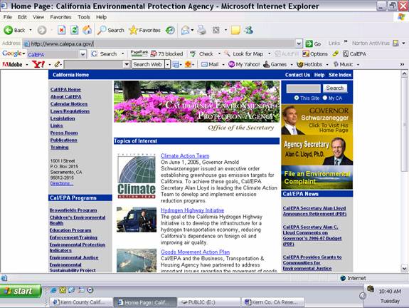
Scroll down the
page and click on State Water Resources
Control Board at the bottom of the left
margin.
http://www.waterboards.ca.gov/
You will have to
experiment with your individual sites
and searches.
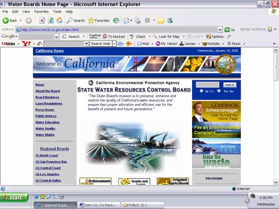
For this example we
have clicked on (6) Lahontan because
our site is located within this region.
You are redirected to the following
page.
http://www.waterboards.ca.gov/lahontan/
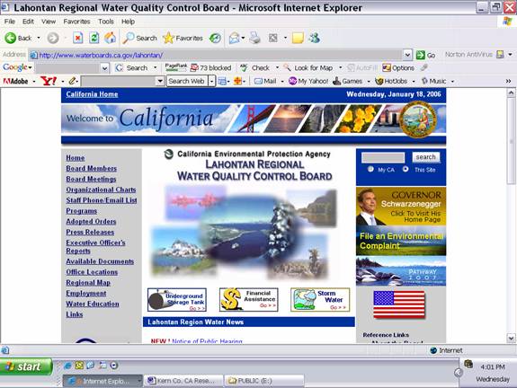
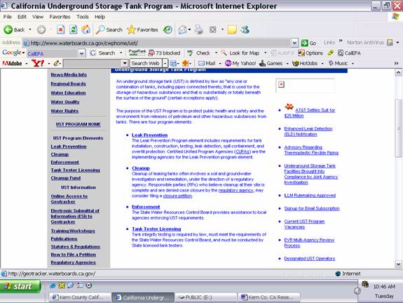
We will click on
the Underground Storage Tank icon in
the left middle of the page.
You are redirected
to the following page.
http://www.waterboards.ca.gov/cwphome/ust/
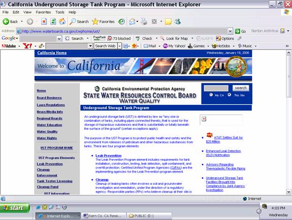
Click on Online
Access to Geotracker in the left column
of the page.
You are then
redirected to the following page.
http://geotracker.waterboards.ca.gov/
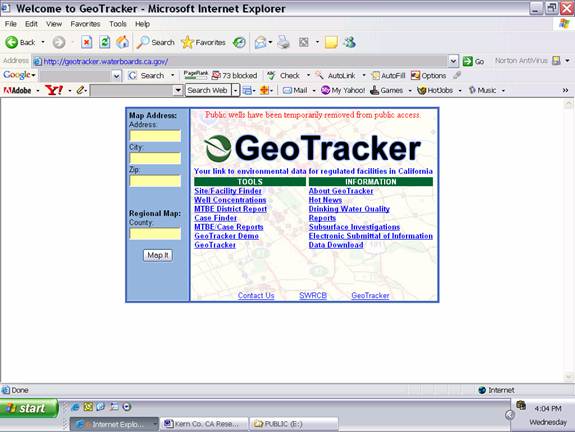
We will click on
Site/Facility Finder to obtain
information about CalEPA-regulated
facilities in vicinity of the subject
property.
You are redirected
to the following page.
http://geotracker.waterboards.ca.gov/search/
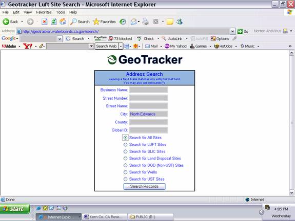
For this example we
will enter North Edwards for city,
then click on Search All Sites.
You will have to
experiment with your search parameters
as desired.
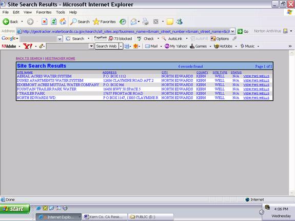
You are then
redirected to a page showing CalEPA-regulated
facilities in your area.
http://geotracker.waterboards.ca.gov/search/all_sites.asp?
business_name=&main_
street_number=&main_street_name=&city=North+Edwards
&county=&global_id=
For our example,
six facilities with public water supply
wells are listed. You can click on
View PWS Wells for each of the listed
facilities to obtain more specific
information.
Next Step Flood Map
Screening
|
