|
STEP 2: Google
Maps Research
You can also
conduct a Google Map search for
additional perspective on the subject
property.
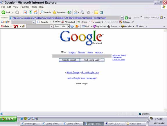
Go to
www.google.com. Click on more
above the text box. You will be
redirected to a listing of Google
Services.
Other search
engines and map software can be used as
desired to meet your individual
preferences.
http://www.google.com/intl/en/options/
Click on Maps at
the top of the right side of the Google
Services listings.
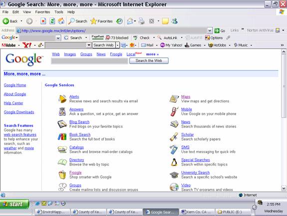
You will be
redirected to the following webpage.
Search for Clay
Mine Road North Edwards California
based on Kern Co. GIS Map labeling we
obtained during earlier research.
You can also use a
street address if available.
The following
search results were obtained. The
mapped points correspond to the listings
on the left side of the page.
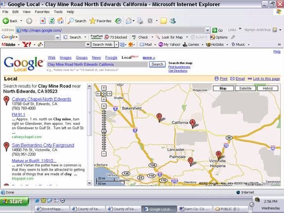
For this example we
have selected A due to the Google
description given. You will have to
experiment with your search parameters
and your views within the maps.
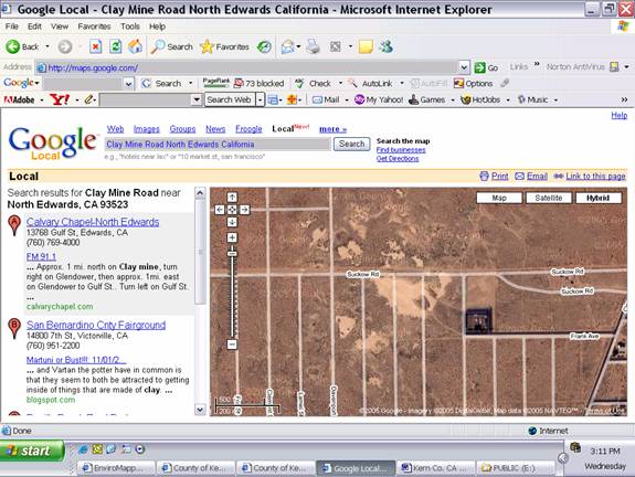
You will need to
click X to remove the text box, then
scroll and zoom in and out to find your
property. In this example, we compared
the Kern Co. GIS map to this one to
locate the site vicinity.
You can select from
Map, Satellite, and Hybrid views. The
following screen shows the Hybrid view.
Next Step Check Topographic Profile of
Site
|
