STEP 3:
Topographic Map Research
U.S. Geological
Survey Topographic Maps
A topographic map
will provide elevation data for
topographical features of your subject
property.
Go to
http://terraserver.homeadvisor.msn.com/
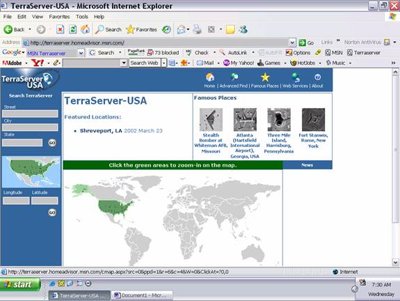
You can then search
by address, city, state, longitude,
latitude by entering information in the
rectangles on the left side margin. You
can also find your site by clicking on
the green areas of the map to zoom in.
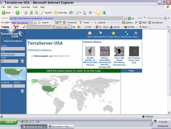
For this example,
we will enter North Edwards, California
for our search terms, then click the
Go circle.
You are then
redirected to the following page.
http://terraserver.homeadvisor.msn.com/advfind.aspx
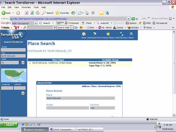
On this screen, the
available topographic maps and aerial
photographs are listed. You can select
the image you would like to view by
clicking on your choice.
Clicked on Aerial
Photo 5/28/1994
http://terraserver.homeadvisor.msn.com/image.aspx?t=1&s=
14&x=132&y=1211&z=11&w=1&qs=%7cNorth+Edwards%7cCA%7c
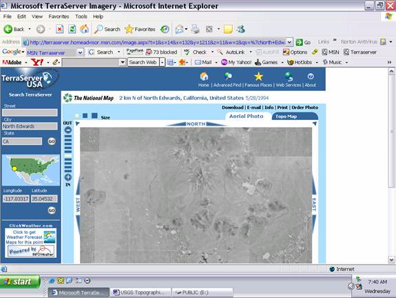
You will have to
experiment with zooming and scrolling.
Clicked on Topo
Map 7/1/1976
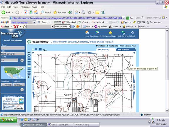
You will have to
experiment with zooming and scrolling.
It is helpful to
print the images for your later review.
Next Step
Environmental Screening
|
